INTRODUCTION TO RÚ CHÁ MANGROVE FOREST
GEOGRAPHIC LOCATION
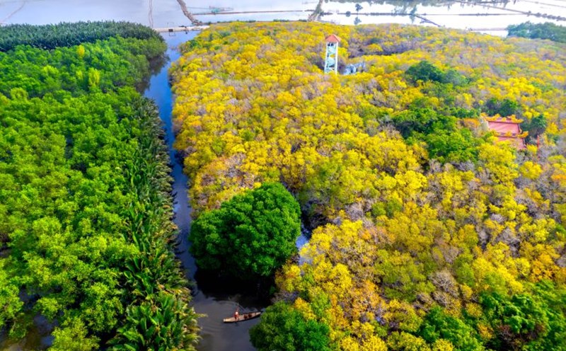
The Ru Cha - Con Te areas are both under the administrative management of Huong Phong commune, Hue city, Thua Thien Hue province. Located 15 km from the center of Hue city, from the city center, go along National Highway 49 towards Thuan An, turn left towards Tam Giang bridge to Thao Long dam, turn right about 1km to reach Con Te, if you reach Thao Long dam, go straight for about 2km to reach Ru Cha mangrove forest.
RU CHA AREA
The Ru Cha area is under the administrative management of Thuan Hoa village, Huong Phong commune, Hue city. Geographical location of the Ru Cha area: to the East borders Bau Lat near Thuan An town; to the West borders Van Quoc Dong village, Huong Phong commune; to the South borders Phu Thanh commune, Hue city; The North borders Hai Duong commune, Hue city.
Regarding the area of space: According to statistics of the People's Committee of Huong Phong commune, as of November 24, 2021, the area of Ru Cha area is 21.9 hectares, of which the area of mangrove forest is 21.16 hectares. The area expected to be expanded according to Decision 3270/QD-UBND dated December 24, 2020 of the Provincial People's Committee according to the Project on developing mangrove forests in Huong Phong commune until 2025 is 232.84 hectares of mangrove forest and land used for tourism is 26.0 hectares.